Survey and construction uses
HiPer receivers are a popular choice for survey applications, including property boundaries, engineering design, and cadastral projects. These versatile tools are also often used for construction site layout/stakeout, grade checking, and material volume calculations. HiPer receivers can also be paired with robotic total stations for Hybrid Positioning™.
TILT™ for hard-to-reach measurements
Measure building edges without using an offset, or stretch to otherwise out-of-reach points using Topcon Integrated Leveling Technology (TILT). A 9-axis inertial measurement unit (IMU) paired with a digital compass allow the HiPer HR and VR receivers to compensate for rods that are not exactly vertical.
Universal Tracking Channels™ technology
Topcon-patented Universal Tracking Channels technology efficiently identifies and uses “all in view” GNSS satellite constellations and signals – automatically optimizing reception.
HiPer VR
Description
GNSS receiver with integrated antenna and radio
Ideal use
Measurement, layout, field survey, grade checking, base or rover, Hybrid positioning™️, TIL
Constellations tracked
GPS
GLONASS
BeiDou
Galileo
SBAS
QZSS
IRNSS
Communications for corrections (availability varies by region)
UHF radio
FH915+ spread spectrum radio
Longlink™️
Bluetooth®️
4G Cell (Europe)
L-band
Hybrid Positioning
Yes
Power sources
Double-internal batteries
External supply 9-27 VDC
Operating temperature
-40° C to 65° C
-40° F to 149° F
Dust and water resistance
IP67
Dimensions
150 x 150 x 100 mm
5.91 x 5.91 x 3.94 in.
Weight
925 g
2.04 lbs
PAKET PEMBELIAN :
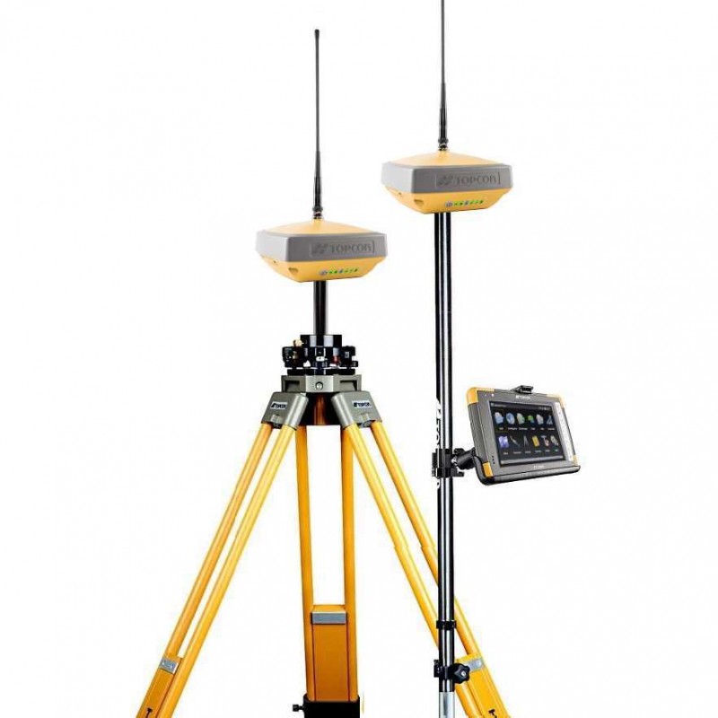
2 unit Topcon Hiper VR
1 unit Controller FC 6000 with Software
1 unit Tripod Alumunium
1 unit Pole Stick
1 unit Tribrach Adapter
Untuk informasi selengkapnya mengenai GPS Geodetik TOPCON HiPer VR, silahkan menghubungi kontak kami.
PT. Minds Indo Survey
Ruko Mega Kalimalang Kav. 8 No. 11 Pekayon Jaya Bekasi 17148
Telp : (021) 88860786
Whatsapp : 0821 1995 3499